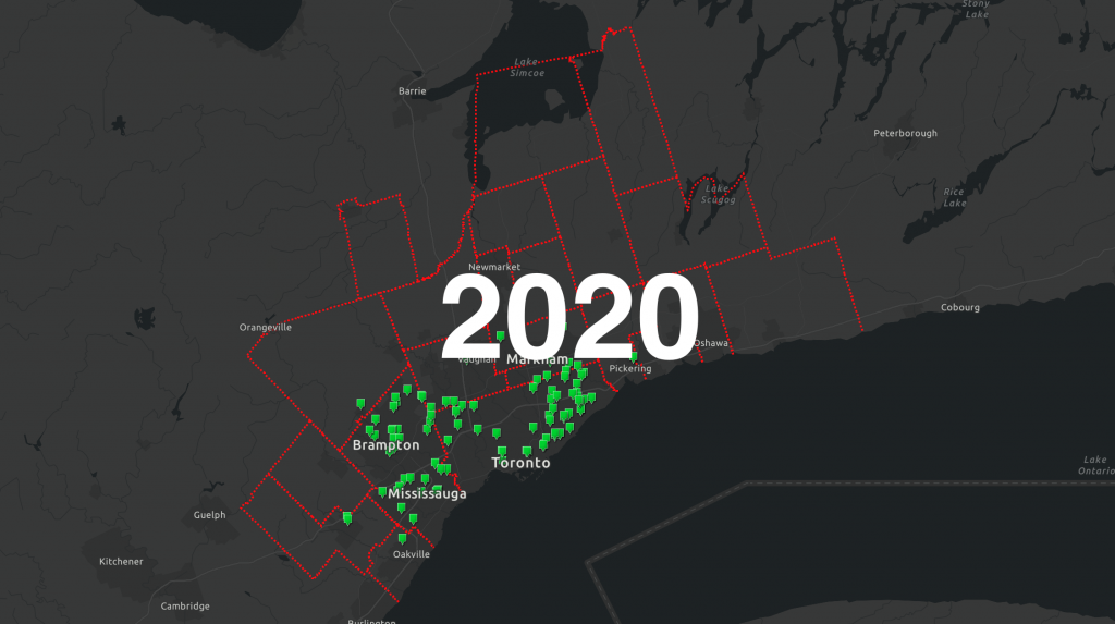
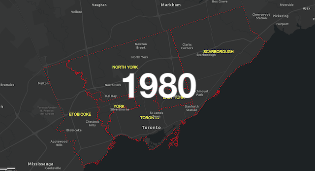
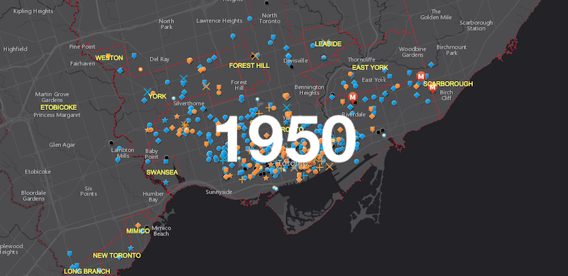
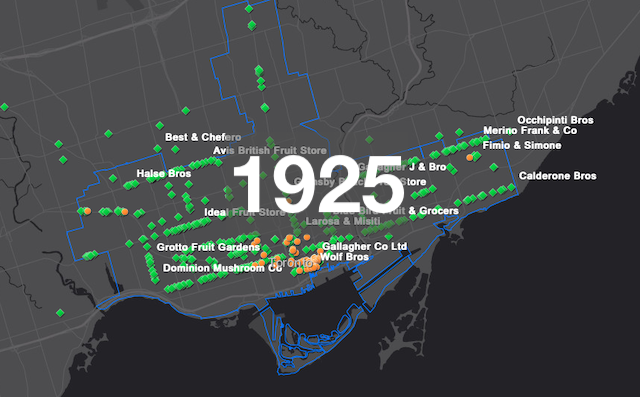
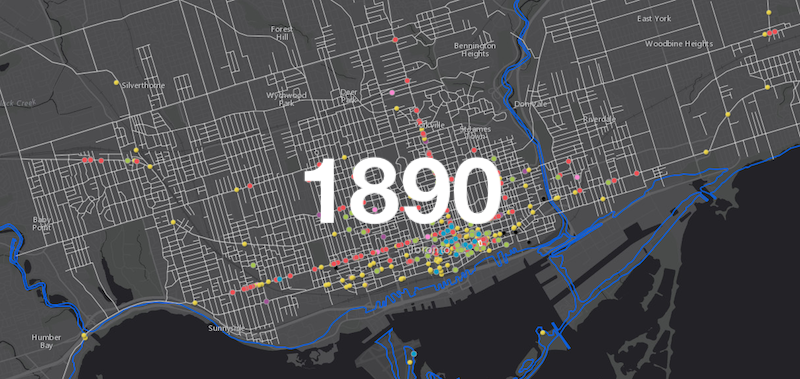
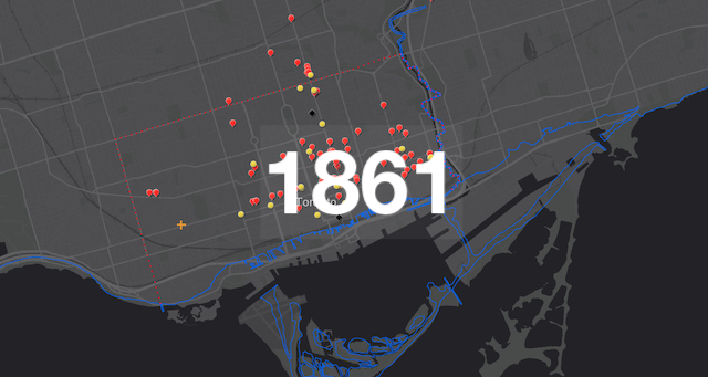
As part of the effort to trace the history of Toronto’s growing food system, we are creating a series of interactive digital maps that cover the recorded commercial food activity of the city at key moments in time. The maps allows users to choose custom criteria with the “layers” toggle, with display information changing as users zoom in to the smaller scale. Selectable criteria include: restaurants and taverns, retail and wholesale meat trades, the wholesale and retail grocery trades, industrial food processing, urban dairy production, supporting culinary infrastructure, and key market sites. The maps are updated as our research and sorting methodologies evolve. Because they are based on historical documents, not all criteria found in one map will be found in others. Click on a year to begin.