Location
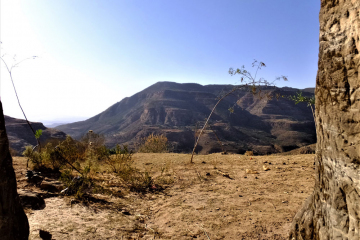
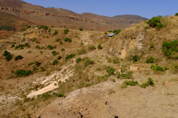
Giyorgis Manacheka lies west of Hagärä Sälam and is located just below a plateau in an enormous valley. The church is carved at the top of a north west facing slope to a large valley that continues below. The church is approached from above and the white sandstone slag is visible below.
Church Description
(by Tarn Philipp)
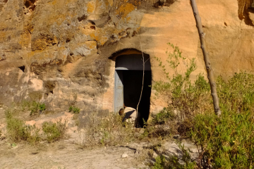
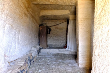
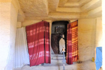
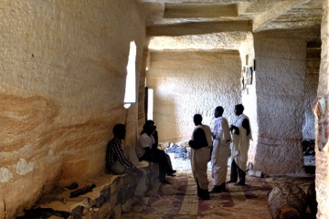
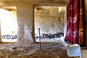
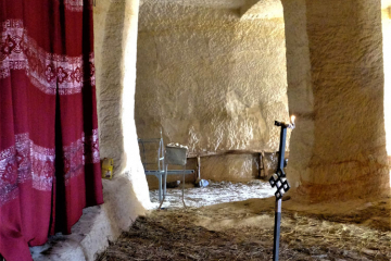
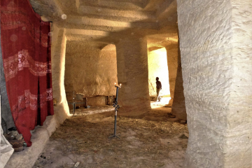
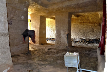
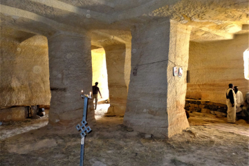
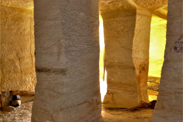
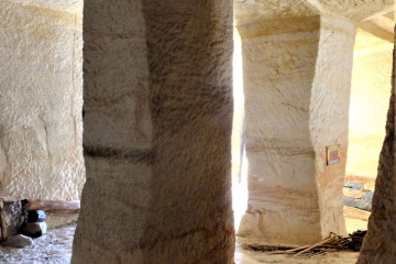
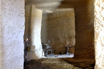
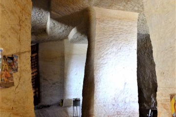
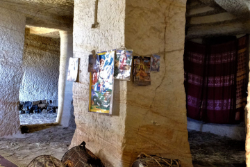
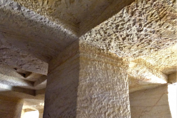
The master craftsman is Yemane Gəday and the church shows clear similarities to other churches where he has worked: Maryam Mawka/ Mäwča and Abba Libanos Koya. Giyorgis Manacheka is roughly square in plan with an entrance into each aisle. Both entrances are arched on the west facade but rectangular on the internal elevation. There is a single window to the nave. The church includes five square columns; four distinguish a nave and the two aisles, while the fifth is placed centrally between the four. All five columns omit a base and capitals.
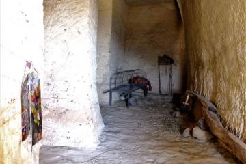
The north and south aisle extend a bay east on either side of the central mäqdäs. The mäqdäs is raised and includes a single entrance from the nave. The mäqdäs is said to be rectangular and 4m in depth. The east bay of the north aisle is also raised and has access to the mäqdäs. Flat beams run east-west to separate the nave from the aisles. Flat beams also cross the north, south and west bays from the columns, but are not met by pilasters on the walls. The central column includes a long flat beam to the west wall.
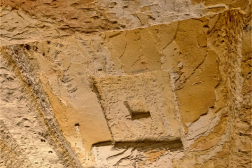
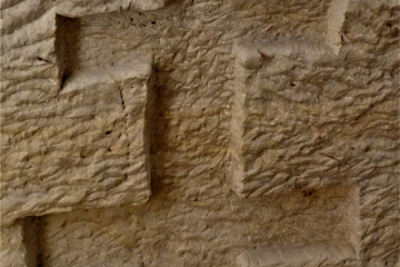
The ceiling is flat throughout and employs a recessed rectangular feature similar to that found at Abba Libanos Koya. The nave ceiling boasts a large recessed square in the east bay. The recessed square diminishes in size and depth four times to form a stepped square, highest at the centre. This decorative feature is repeated in the west bays although these include three rather than four steps. The upper west shafts of the west columns display a cross in carved relief and a goblet is carved on the central column.
Getting There
The church is west of Hagärä Sälam and north of the road to ʿAbiy ʿAddi. The dirt road turnoff is not signposted but continues for some fifteen minutes until descending into the valley. The road becomes impassable and it is necessary to continue by foot. It takes roughly an hour to reach the church from the top of the valley. The return journey is a continuous ascent and takes slightly longer.
Date(s) Visited: 7 April 2017
Co-ordinates: unavailable
Images
(Please click to enlarge)
Architectural Drawings
(by Tarn Philipp)
Elevation Drawings
(by Tarn Philipp)
